Information
G'day! Welcome to Astropete's Weather & Astronomy's Weather Photos. Here you'll find all sorts of weather phenomena from winter dew drops on spider webs to storm clouds. Everyone will relate to the pictures in some way. Even a Pyrocumulus cloud on Black Saturday!
I try to capture the beauty that is around us in nature and the universe. So have a squiz at our photos and if you like, follow us on social media, or just have a good look!

View our latest work

Classic Mammatus clouds at dusk above
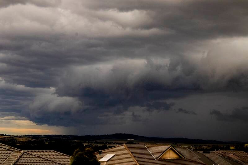
Wallan storm approaches

Lenticularis clouds-strong winds aloft!

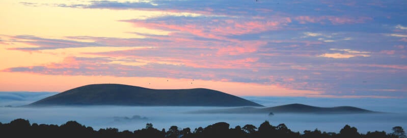
Pacific Dawn-Caloundra

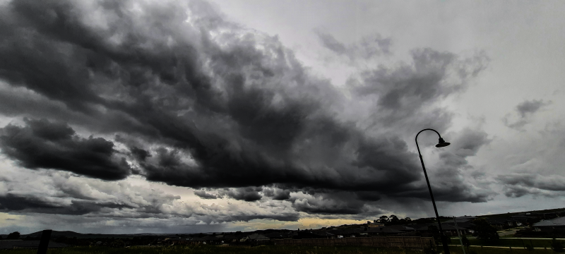
Afternoon storm ahead!
Cirrus clouds at dusk


Afternoon storm Warrandyte

Ocean cumulus line


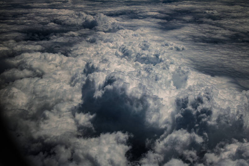
Cold air storm from above!


Sunset storm over Kinglake

A cold front sweeping in at Monegeeta Victoria

How close to a UFO can a cloud get!

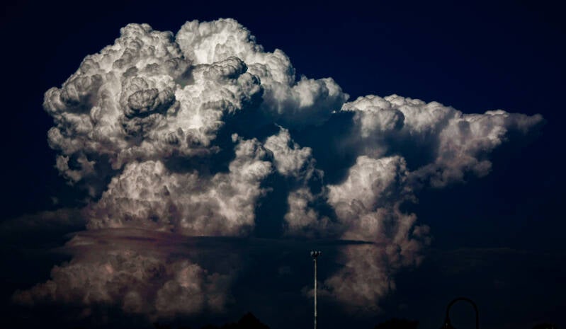
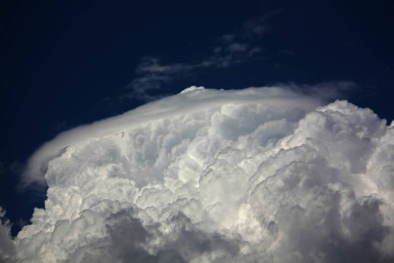
Developing CumuloNimbus

Bushfire smoke in the clouds below and below left with rays of sunlight showing through.


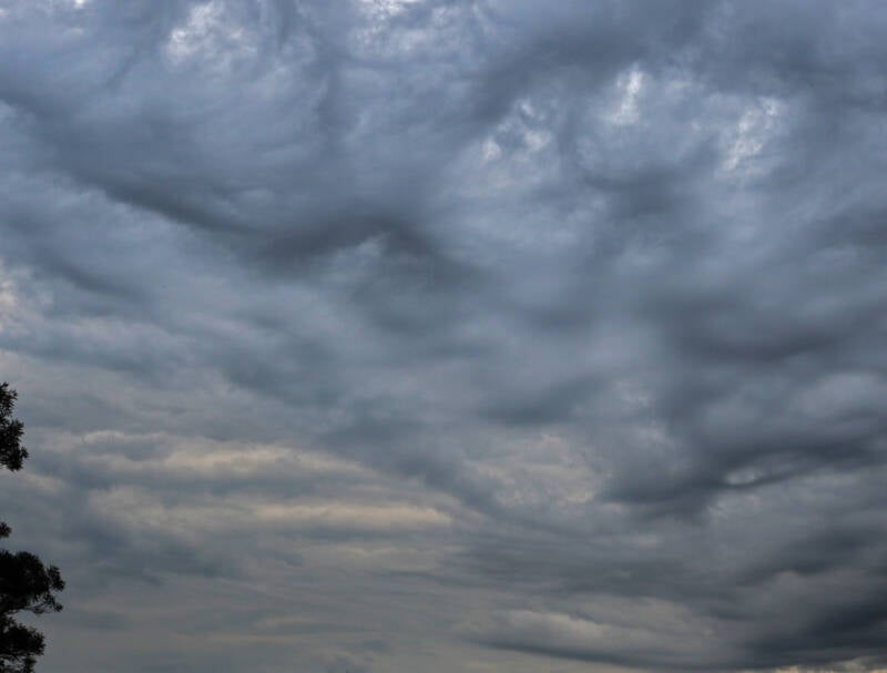
Mammatus Clouds

The Simpson Desert comes to southern Victoria! See Skippy in left hand pic-as shot! No AI


Approaching storm Wallan-looking East then West
FractoStratus with sunlit CumuloNimbus Behind.


CumuluCongestus below

Shelf cloud near Mickleham


Wall cloud near Barnawatha

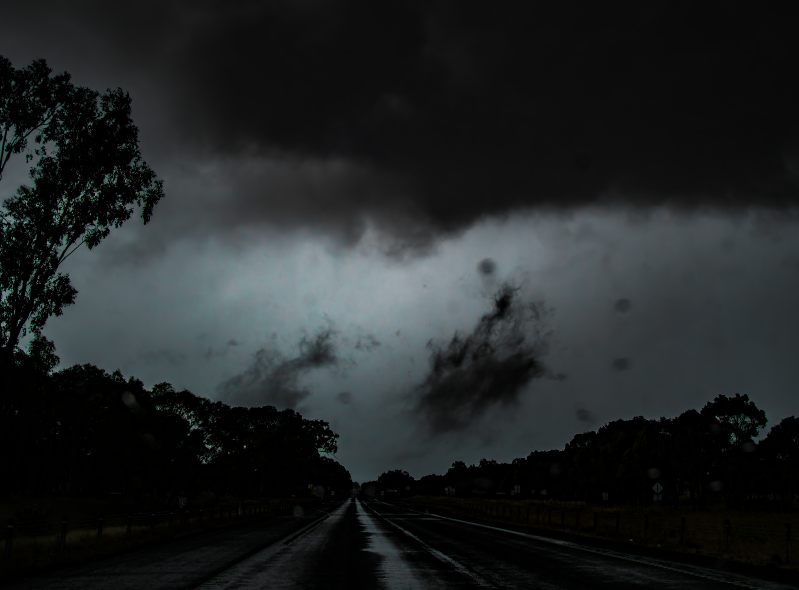
Up the Hume Hwy into a storm

The best example of Pileus clouds I have seen, below. Person with a hat!

Fog/Stratus in the humidity after a storm-shot looking east from Wallan


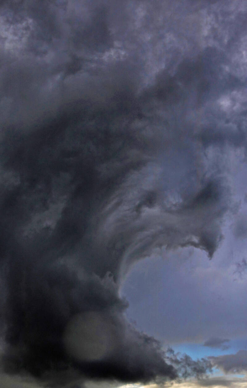
Boiling updraught breaches a Pileus cap
Winters dawn


Classic looking storm over Shepparton

Lenticularis-strong horizontal winds


Dawn of a hot day!

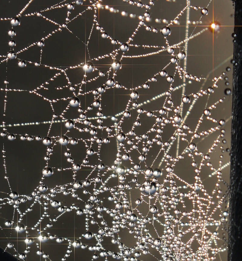
Winter dew drops on a spiders web!
Dawn fog Wallan with balloon flights over Epping (centre of pic, behind Mt Fraser)
Roll cloud approaching Wallan-same as Morning Glory over the Gulf of Carpentaria


Winter at Lake Eildon

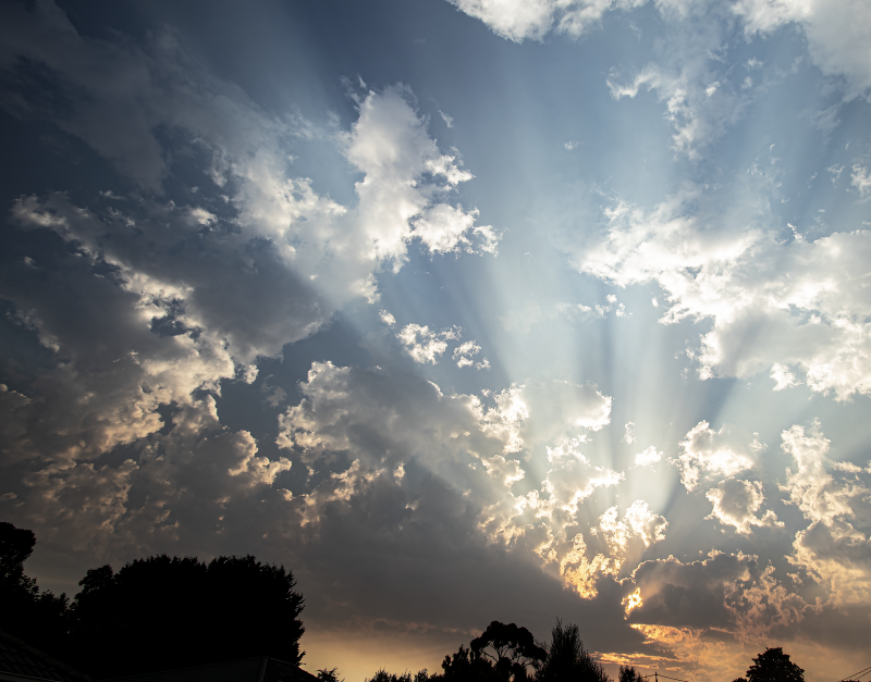
Sun ray dance near Broadford

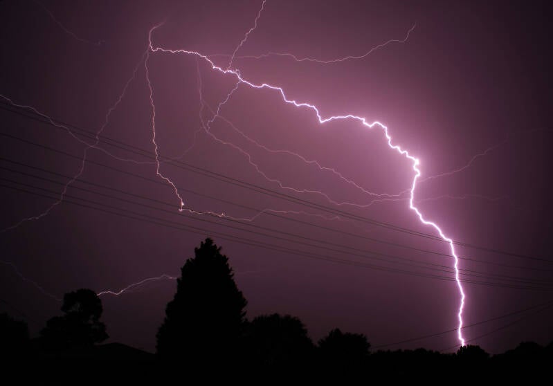
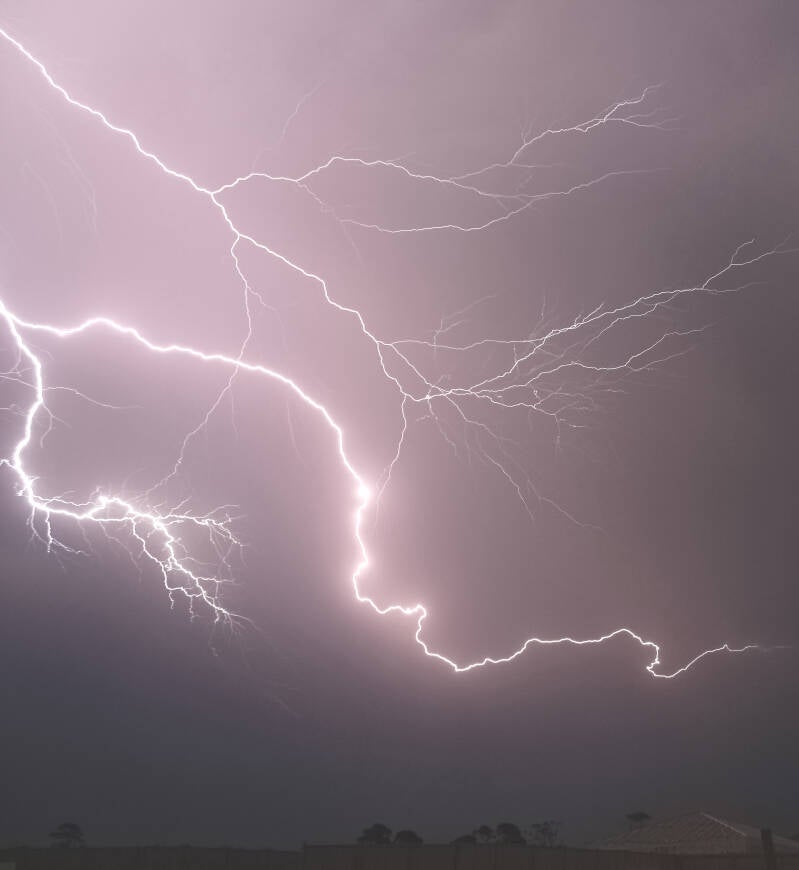
Cloud to cloud & cloud to ground lightning at Broadford


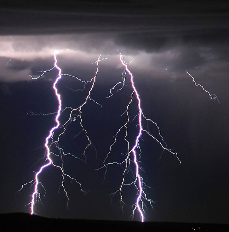
Lightning over the Pacific-Manly Sydney


Panorama of Melbourne storms 25/12/2011. These storms dropped a tornado near Bacchus Marsh, deposited a baggage trolley from Melbourne Airport-onto the nearby freeway and left large hail around various Melbourne suburbs!

Shepparton storm with inflow flanking line from left

Approaching storms Broadford-below and right. Blue tint indicates hail!

Amazing example of cumulus congestus at dusk


Sombre beauty-Black Saturday Pyro Cumulonimbus over Flowerdale at dusk 07/02/2009

Clouds from a different perspective!


Line of StratoCumulus with a shower falling at far end
Here are some of the best examples of Sundogs I have ever seen! These were shot north of Heathcote Victoria and indicate cooler weather ahead. They are formed by the refraction of sunlight in ice crystals in Cirrus or CirroStratus clouds usually 22 degrees away from the sun.